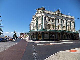
Beach Street
 | |
| Suburbs: | |
|---|---|
| Named after: | beach |
| Connects with: | |
| Wikidata: | Q28428531 |
| OpenStreetMap: | 11189687 |
-32.0460687, 115.75091 | |
Wikipedia has an article about Beach Street, Fremantle.
You may wish to contribute to that article in preference to this one, so that your contributions may be of use to the greatest number of people.
Of course, anything that is not suitable for Wikipedia can be added here on Freopedia instead (within reason).
Beach Street runs along the railway line between the east end and the port. Most people probably couldn't pinpoint where Beach Street, Elder Place, and Phillimore Street begin and end, because they continue from one another. Beach Street starts at Edward Street (which itself is often mistaken for Parry Street, at the corner near Captain Munchies and the Australia Tavern. It continues north-east until it becomes Riverside Road at the point it passes under the Old Traffic Bridge.


